Tropical Cyclone Yasa, anticipated to intensify into a category four system later this week, could still cause significant damage to adjacent land areas as it passes over open waters, Fiji’s Weather Office said.
TC Yasa is expected to have severe cyclone strength when it passes close to the west of the group on Thursday.
When it does, the Fiji Meteorological office anticipates continuous heavy rainfall and damaging winds to be experienced particularly over the Yasawa and Mamanuca groups, northern Viti Levu and Kadavu before spreading eastwards to the rest of Fiji.
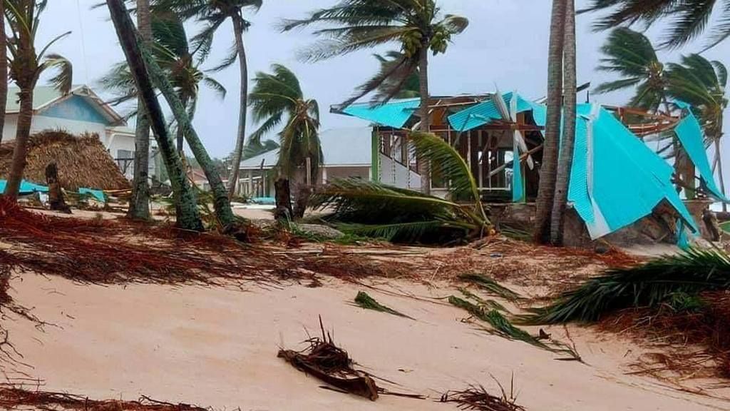
“It may cause widespread power failure, blow away roofs, damage weak-structures, uproot big trees and damage shallow-rooted plants and crops,” the weather office said in its latest bulletin.
Significant high waves of more than five meters are expected over the Yasawa and Mamanuca waters and Kadavu passage, posing risks of coastal flooding in nearby land areas.
In the meantime, authorities are calling on the general public to prepare for the inclement weather – update emergency contacts, ready emergency kits, ready escape plans A-Z, and stock up water to last up to four days.
At its current strength, as a category two system, TC Yasa has average winds of 48-63 knots with central pressure 985-970 hPa.
")